
Dive Sites
Browsing as a guest. Create a free account to save trips and plan dives.
+4 photos

Tenneco Towers Shallow

Other · Fort Lauderdale

25° 58.937' N 80° 05.197' W

Advanced Open Water Advanced Open Water Max 110 ft Avg 70 ft Temporary Line Today AMPoor

Details

Advanced Open Water
Minimum recommended certification
Max depth
110 ft
Average depth
70 ft
Access
Temporary Line
Sea state today
AMPoor PMPoor

Video

🎥 Ezra Television

Pictures 7

Where it is

25° 58.937' N 80° 05.197' W

Next boats to this site 3

Operators that dive here

Best Gas

atm
atm
Overlay Image
Gas prices
Aluminum 80 $10
Steel HP 100 $10
Steel LP 85 $10

Site description

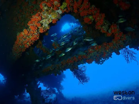
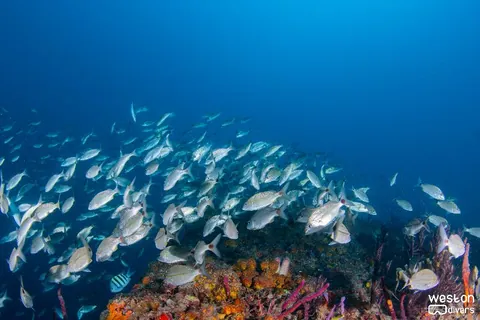
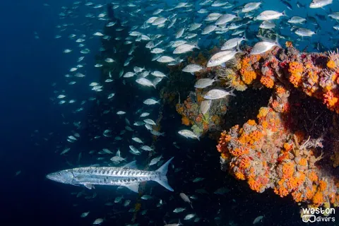
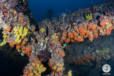
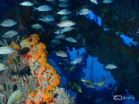
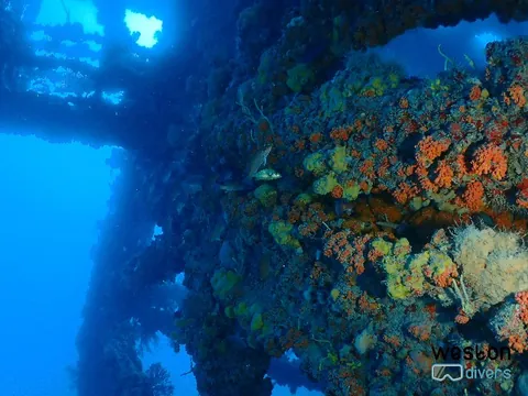
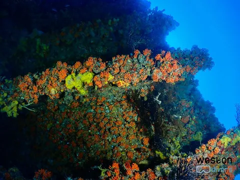
In October 1985, the Tenneco Oil Company sank five large sections of an oil rig platform. These sections were placed in three locations along an east-west line, with progressively deeper waters. The section closest to the shore was originally the top of the oil derrick, now resting at a depth of 95 feet (30 meters) with its top reaching 65 feet (20 meters). About 200 feet (61 meters) east of the first site lies the second shallow site, featuring two adjacent structures. This dual site is considered the most interesting of the two shallow sites by many dive operators. The main working platform is a roughly 65-foot (20-meter) square, accompanied by a taller secondary structure approximately 26 feet (8 meters) wide. Both structures rest on a sandy seafloor that bottoms out at 110 feet (33.5 meters). The taller, thinner tower rises to a depth of 75 feet (23 meters), while the working platform reaches 84 feet (25.5 meters). The Tenneco Shallows sites, submerged for over 30 years, teem with marine life. Large sponges and delicate corals cover the structures, providing a habitat for a diverse array of reef fish. Grouper, sharks, bait fish, jacks, grunts, and other species can be observed on top of the structure or patrolling the sandy seafloor. Moray eels have taken up residence in hollow tubes, while angelfish dart in and out of the shadows. Divers exploring the Shallows site with the double structure can enjoy open swim-throughs without requiring wreck diving certification. However, caution is necessary due to the potential to damage the coral and sponges that envelop all surfaces, including the lattice of supporting braces beneath the working platform.

Route & typical conditions

Route

Tenneco Towers, a fascinating dive site, requires divers to be mindful of bottom time to avoid decompression. The middle site, featuring two adjacent structures, offers plenty of intriguing sights. Dive operators typically anchor the boat on the southeast corner of the working platform. As divers descend along the line, they can explore a leg of the structure, inspecting the seafloor and the crisscrossed braces beneath the platform. Keep an eye out for the green moray eel often seen in an open tube below the southeast corner. Be cautious of the overhead environment and avoid stirring up silt, which could reduce visibility for fellow divers.  The coordinates provided above are for the west towers. The east towers are located at: 25º 58.934' N, 80º 5.127' W

Typical conditions

Conditions tend to be really good in this site. Visibility averages 50 feet and provided it's a fairly small site, divers may feel the visibility is even better. Current may be strong, which may pose a challenge if divers are planning to visit both set of towers in the same dive - it's never an easy task to navigate west to east with the typical north/south currents in this site.

Divers' uploaded pictures

No diver pictures yet.

Divers' reviews

Be the first to add a review